Log in
All resources
Create a design
387 Free Images of Maps Of Mani
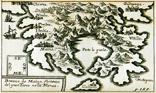
description de l'universe
alain manesson mallet
1685 maps of europe
pages with maps
cc-zero
many
greeting card
latin-language maps
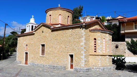
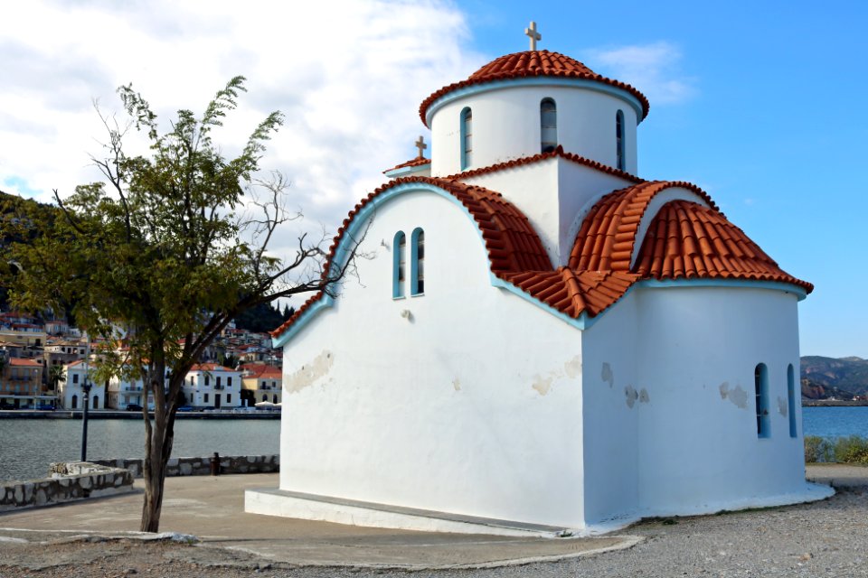
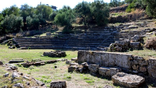
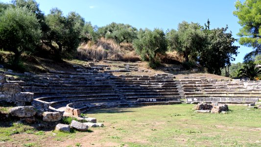
2015 in anatoliki mani
greece photographs taken on 2015-10-03
valleys and canyons on mars
mars topography
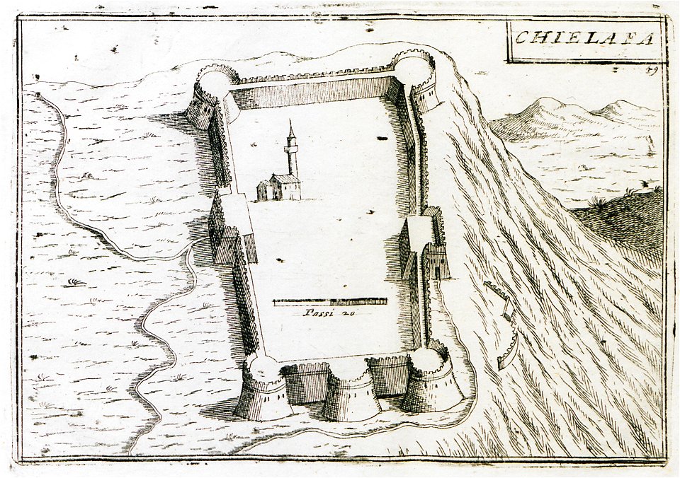
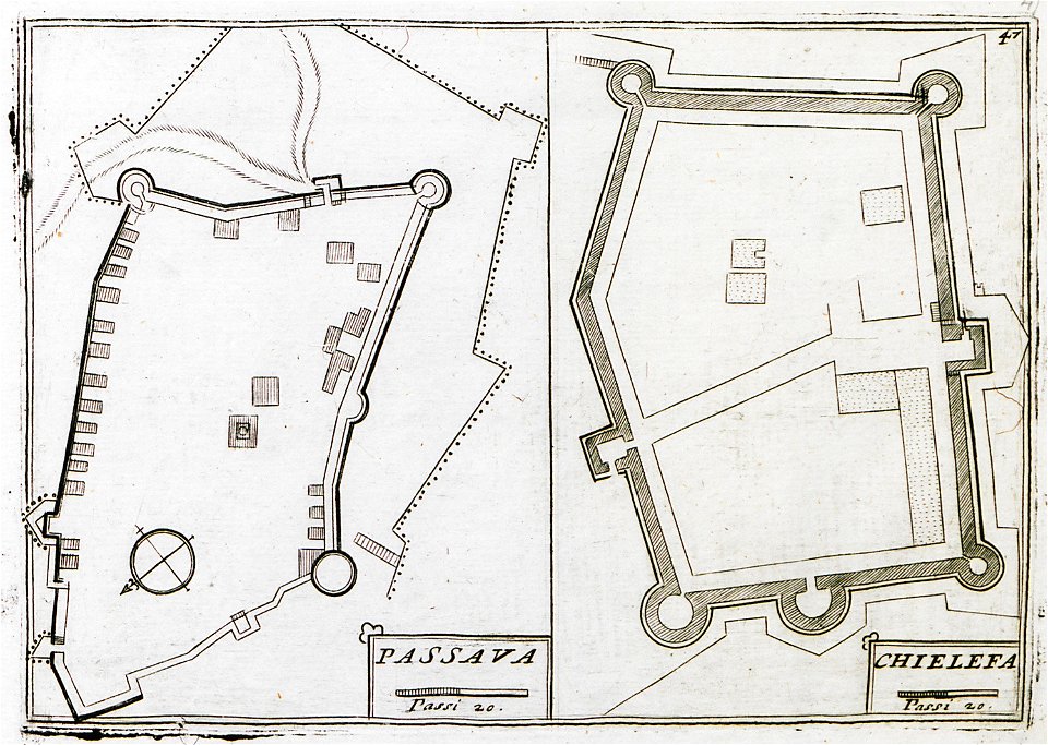
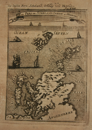
kurtze beschreibung von republick venedig
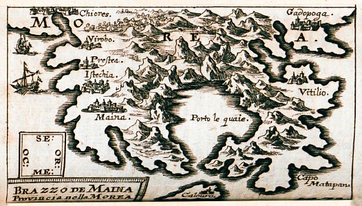
maps of mani
geographical illustrations by coronelli
old maps of the peloponnese
geographical illustrations by coronelli
old maps of the peloponnese
village
travel
kurtze beschreibung von republick venedig
maps of mani
background
maps
background
maps
background
maps
self-published work
architecture
landscape
nature
self-published work
architecture
vehicle
water
self-published work
pages with maps
self-published work
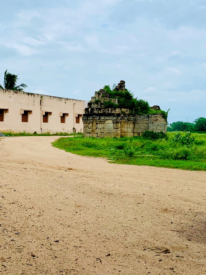
mani stone
self-published work
grass
sidewalk
lawn
mountain
sunshine
background
maps
expressionism,symbolism,bauhaus
photos of mercury by messenger
symbol
maps
old constellation maps
maps by samuel dunn
symbol
maps
self-published work
pages with maps
maps by edward wright
molyneux globes
christina of sweden
rené descartes
business
job
sidewalk
pavement
maps by jodocus hondius
old maps of virginia
romanticism
1557 maps
self-published work
vehicle
old county maps of lancashire
copper engravings
old county maps of lancashire
copper engravings
john rocque's 1746 map of london
history of london
old maps of the russian empire
1790s maps of alaska
old maps of french guiana
1630s maps of brazil
17th-century maps of the moluccas
latin-language maps
maps by nicolaes visscher i
1630s maps of pernambuco
maps in the british museum
1780s maps of france
16th-century maps of the persian gulf
16th-century maps of the red sea
carte de barbarie, nigritie, guinée par guillaume delisle (1707)
1792 maps of africa
cary's new itinerary (1815)
1810s maps of england
old maps of the tribes of israel
guillaume sanson
a voyage to abyssinia, and travels into the interior of that country, executed under the orders of the british government in the years 1809 & 1810
john outhett
world war ii posters from the united kingdom
her majesty's stationery office collection
maps of the divisions of the polish-lithuanian commonwealth
karol de perthées
maps of the divisions of the polish-lithuanian commonwealth
karol de perthées
maps of london by braun & hogenberg
maps of old london (book)
maps in the rijksmuseum amsterdam
maps by frederick de wit
description de l'universe
1680s maps of scotland
maps by john cary
1801 maps
description de l'universe
1680s maps of england
description de l'universe
1680s maps of england
haarlem nautz map 1822-1829
old maps of haarlem
old maps of kea (cyclades)
description de l'universe
maps of paris from the david rumsey historical map collection
map of paris by jouvin de rochefort (boutier 133)
17th-century maps of central america
description de l'universe
description de l'universe
1680s maps of england
maps by pieter mortier
indochina
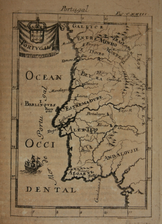
maps of portugal by fernando álvares seco
maps
1760s maps of the iberian peninsula
1762 maps of spain
description de l'universe
old maps of newfoundland
description de l'universe
1680s maps of ireland
description de l'universe
1680s maps of germany
17th-century maps of puerto rico
description de l'universe
old maps of the new kingdom of granada
maps by willem and johannes blaeu
14th-century illuminated manuscripts from spain
jong (ship)
an accurate map of england and wales , drawn from all the particular surveys hitherto publish'd. illustrated with many additional improvements, and regulated by numerous astronomical observations made by... - btv1b53181614s
maps by thomas kitchin
1642 maps
baroque
an accurate map of england and wales , drawn from all the particular surveys hitherto publish'd. illustrated with many additional improvements, and regulated by numerous astronomical observations made by... - btv1b53181614s
maps by thomas kitchin
old maps of whole wales (alone)
description de l'universe
description de l'universe
1680s maps of scotland
1680s maps of lower saxony
description de l'universe
1680s maps of baden-württemberg
description de l'universe
17th-century maps of the iberian peninsula
description de l'universe
17th-century maps of italy
description de l'universe
17th-century maps of france
description de l'universe
description de l'universe
1680s maps of ireland
description de l'universe
old maps of karpathos
1100 block of royal street, french quarter
1885 in new orleans
cosmographia (1600) by sebastian münster
maps of cairo by braun & hogenberg
maps by edward wright
molyneux globes
cosmographia (1600) by sebastian münster
maps of cairo by braun & hogenberg
description de l'universe
old maps of greece
old maps of tierra del fuego
description de l'universe
17th-century maps of the iberian peninsula
description de l'universe
17th-century maps of south america
description de l'universe
description de l'universe
old maps of greece
cosmographia (1600) by sebastian münster
maps of cusco by braun & hogenberg
description de l'universe
1680s maps of portugal
description de l'universe
1685 maps of europe
description de l'universe
1685 maps of europe
1685 maps of the caribbean
description de l'universe
description de l'universe
1680s maps of germany
description de l'universe
1685 maps of europe
description de l'universe
1685 maps of the bahamas
17th-century maps of italy
description de l'universe
17th-century maps of bavaria
description de l'universe
atlas van der hagen (volume 4)
atlas van der hagen
description de l'universe
old maps of andros
1 - 100 of 387
Next page
/ 4